
With predictions for an above-normal 2020 Atlantic hurricane season, NOAA forecasters have added meteorological muscle from a new combination of satellite data flowing into its computer models.
The Constellation Observing System for Meteorology, Ionosphere and Climate (COSMIC-2) is a new fleet of six small satellites launched last June. Since May 26, the constellation has begun feeding more than 4,000 vertical sets of measurements of atmospheric temperature and humidity in the tropics and subtropics daily into our forecast models.
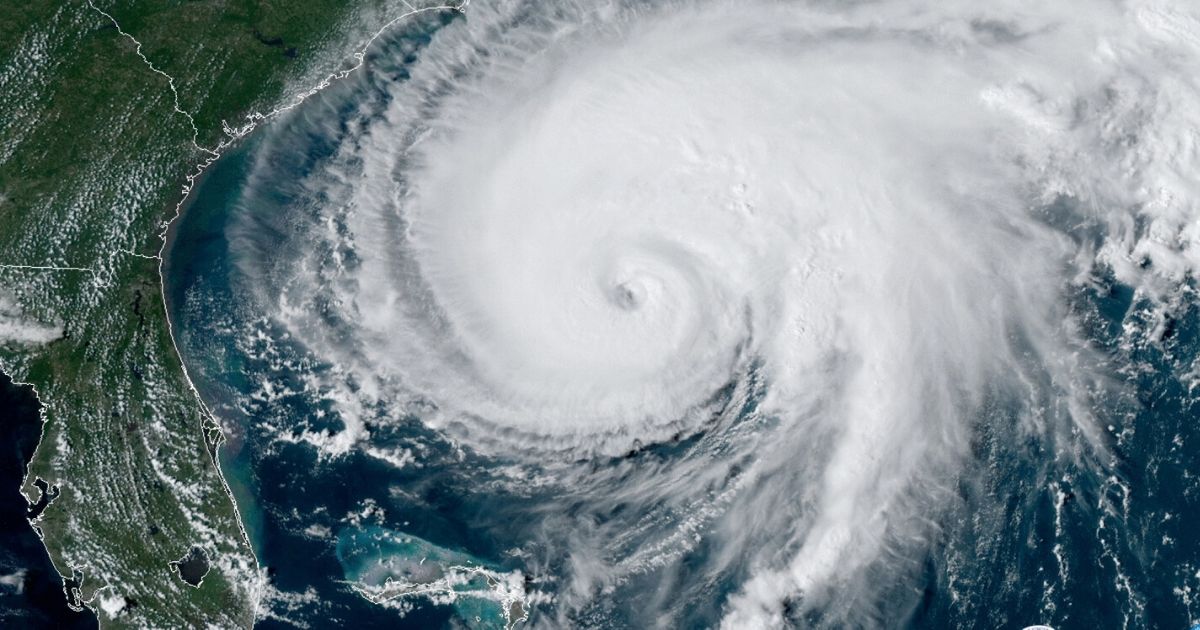
Measuring the moisture in and around tropical cyclones is important because it is a key ingredient for their development and intensification.
“New satellite observations feeding into our weather forecast models will enhance our predictive capabilities for tropical storms and hurricanes," said Louis W. Uccellini, Ph.D, director, NOAA’s National Weather Service. “High-resolution wind vector data along with moisture measurements will give us more and better information about the conditions that strengthen or weaken these storms.”
NOAA will use COSMIC-2 data, combined with information from its advanced Joint Polar Satellite System, the European Metop spacecraft and the significantly improved high-resolution wind data from NOAA’s next-generation geostationary satellites, GOES-16 and GOES-17, and Japan’s Himawari-8 satellites in hurricane forecast models.
The COSMIC-2 satellites use a technique called radio occultation, which collects signals from Global Navigation Satellite Systems (including the U.S. Global Positioning System or GPS) that are “bent” as they travel through the Earth’s atmosphere. The bent signal indicates the information about the distribution of temperature, pressure, and moisture content of the atmosphere, knowledge which will improve the accuracy of weather forecasts, including forecasts of hurricanes and other major storms. COSMIC-2 also improves space weather monitoring by providing unprecedented coverage of the low-latitude ionosphere.
NOAA is currently involved in a Commercial Weather Data Pilot effort, where NOAA purchases space-based, radio occultation data — as COSMIC-2 provides — from private-sector companies to demonstrate the data's quality and its potential value to NOAA's weather forecasts and warnings. This commercial-sector radio occultation data could augment the data NOAA gets from COSMIC-2.
“COSMIC-2, along with our advanced geostationary and polar-orbiting satellites, underscores NOAA’s commitment to putting the best and smartest satellite technologies in orbit to protect lives and property through improved weather prediction,” said Steve Volz, Ph.D., director, NOAA’s Satellite and Information Service.
The COSMIC-2 mission is part of a joint agreement between the American Institute in Taiwan and the Taipei Economic and Cultural Representative Office in the United States, with NOAA and the Taiwan National Space Organization as designated representatives. In Taiwan, COSMIC-2 is known as FORMOSAT-7. The satellites are owned and operated by the Taiwan authorities.